Log in
All resources
Create a design
296 Free Images of Maps Of Journeys
navigation
picturesque journey to the two americas, asia and africa
museum of the americas
eran laor cartographic collection
travel
explore
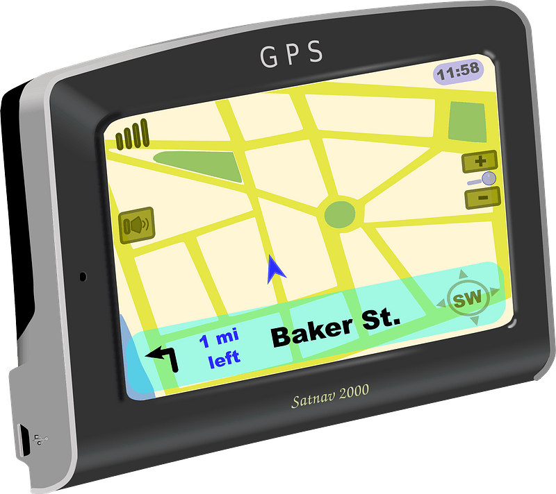
gps
direction
dutch-language maps
bibliothèque nationale de france
maps from the earth and its inhabitants, vol. ix
maps indicating exploration
meeting the sun - a journey all round the world (1874)
maps of the temple of heaven
hiker
maps
maps from the earth and its inhabitants, vol. xiii
somaliland
the great south - a record of journeys (1875)
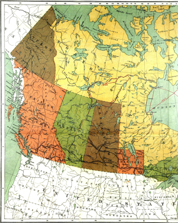
1875 maps of the united states
the great south - a record of journeys (1875)
1870s maps of kentucky
eran laor cartographic collection
isaak tirion
eran laor cartographic collection
johannes van den aveelen
fauna bl - mammalia
moose in art
the great south - a record of journeys (1875)
1870s maps of virginia
maps from the earth and its inhabitants, vol. ix
exploration of arabia
the great south - a record of journeys (1875)
1875 maps of the united states
the great south - a record of journeys (1875)
1875 maps of the united states
the great south - a record of journeys (1875)
1875 maps of the united states
maps from the earth and its inhabitants, vol. xiii
exploration of africa
travel
maps
old maps of vermandois
old maps of santerre
old maps of the sinai peninsula
1870s maps of palestine
meeting the sun - a journey all round the world (1874)
plans of the forbidden city
paul haase (1873-1925)
erich mühsam
eran laor cartographic collection
carl heinrich beichling
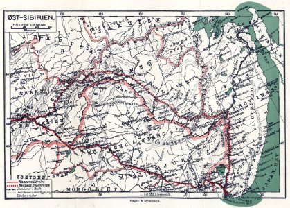
dr. wilh. junker's reisen in afrika 1875-1886
libyan desert
maps from the earth and its inhabitants, vol. xi
maps indicating exploration
dr. wilh. junker's reisen in afrika 1875-1886
old maps of lake victoria
eran laor cartographic collection
johannes van den aveelen
maps from the earth and its inhabitants, vol. xv
maps indicating exploration
icons
maps
picturesque journey to the two americas, asia and africa
lima in the 1840s
eran laor cartographic collection
claes jansz. visscher (ii)
eran laor cartographic collection
claes jansz. visscher (ii)
eran laor cartographic collection
claes jansz. visscher (ii)
across the sub-arctics of canada, a journey of 3,200 miles by canoe and snow shoe through the hudson bay region (1908)
arthur heming
historical images of rhodes (city)
erhard reuwich
maps of poreč by braun & hogenberg
erhard reuwich
historical images of rhodes (city)
erhard reuwich
eran laor cartographic collection
romeyn de hooghe
maps of saint paul's journeys
maps by thomas starling
eran laor cartographic collection
evert maaskamp
maps of saint paul's journeys
maps by pieter van der keere
maps from the earth and its inhabitants, vol. xiii
maps of journeys
maps from the earth and its inhabitants, vol. xiv
exploration of australia
technology
maps
technology
maps
picturesque journey to the two americas, asia and africa
lima in the 1840s
maps of poreč by braun & hogenberg
erhard reuwich
historical images of rhodes (city)
erhard reuwich
1810s maps of the iberian peninsula
1813 maps of spain
maps by daniel stoopendaal
biblical maps
19th-century maps of the eastern mediterranean
maps of saint paul's journeys
voyage de l'asie mineure (1838)
old maps of the sinai peninsula
ghosts & ghoulish scenes
ludwig becker (explorer)
frederick schoenfeld
across the sub-arctics of canada (1898)
arthur heming
across the sub-arctics of canada (1898)
rangifer tarandus (illustrations)
paintings in the nederlands scheepvaartmuseum
paintings by christoffel bisschop
across the sub-arctics of canada (1898)
arthur heming
picturesque journey to the two americas, asia and africa
1842 in bolivia
picturesque journey to the two americas, asia and africa
lima in the 1840s
picturesque journey to the two americas, asia and africa
1842 in bolivia
maps by nicolaes visscher i
maps by daniel stoopendaal
picturesque journey to the two americas, asia and africa
1842 in bolivia
picturesque journey to the two americas, asia and africa
potosí
technology
maps
technology
computer
vehicle
maps
chromolithographs in the british museum
durand-brager
picturesque journey to the two americas, asia and africa
mines in chile
picturesque journey to the two americas, asia and africa
1842 in bolivia
historical
history
voyage pittoresque ou description des royaumes de naples et de sicile vol. 1, p. 1 (1781)
san giovanni a carbonara - cappella caracciolo del sole
chromolithographs in the british museum
voyage de s. m. louis-philippe
historia anglorum (1250-1259) - bl royal ms 14 c vii
maps by matthew paris
historical
history
picturesque journey to the two americas, asia and africa
puebla in art
voyage pittoresque ou description des royaumes de naples et de sicile vol. 4, p. 1. (1785)
palermo in art
chromolithographs in the british museum
voyage de s. m. louis-philippe
chromolithographs in the british museum
voyage de s. m. louis-philippe
chromolithographs in the british museum
voyage de s. m. louis-philippe
les duchés de cleves, juliers, limbourg (etc.) by jaillot
bibliothèque nationale de france
les duchés de cleves, juliers, limbourg (etc.) by jaillot
bibliothèque nationale de france
brochure
draft
symbol
maps
viage á constantinopla, en el año de 1784 (1790)
18th-century maps of malta
illustration
travel
old maps of the stations of the exodus
maps in the rijksmuseum amsterdam
location
sign
voyage dans la russie méridionale et la crimée (1840-1842) par anatolii nikolaevich demidov
library of congress
estats de l'empire des turqs en europe subdivisés suivant l'estendüe des beglerbeglicz ou gouvernements dans lesquels sont marquées les résidences des sangiacz qui en dépendent . tirés de plusieurs... - btv1b53081211n
guillaume sanson
estats de l'empire des turqs en europe subdivisés suivant l'estendüe des beglerbeglicz ou gouvernements dans lesquels sont marquées les résidences des sangiacz qui en dépendent . tirés de plusieurs... - btv1b53081211n
guillaume sanson
arrow
maps
topography
symbol
cruise
arrow
icons
symbol
red library
retro
brochure
draft
world map
maps
201 - 296 of 296
/ 3